

An easy one:
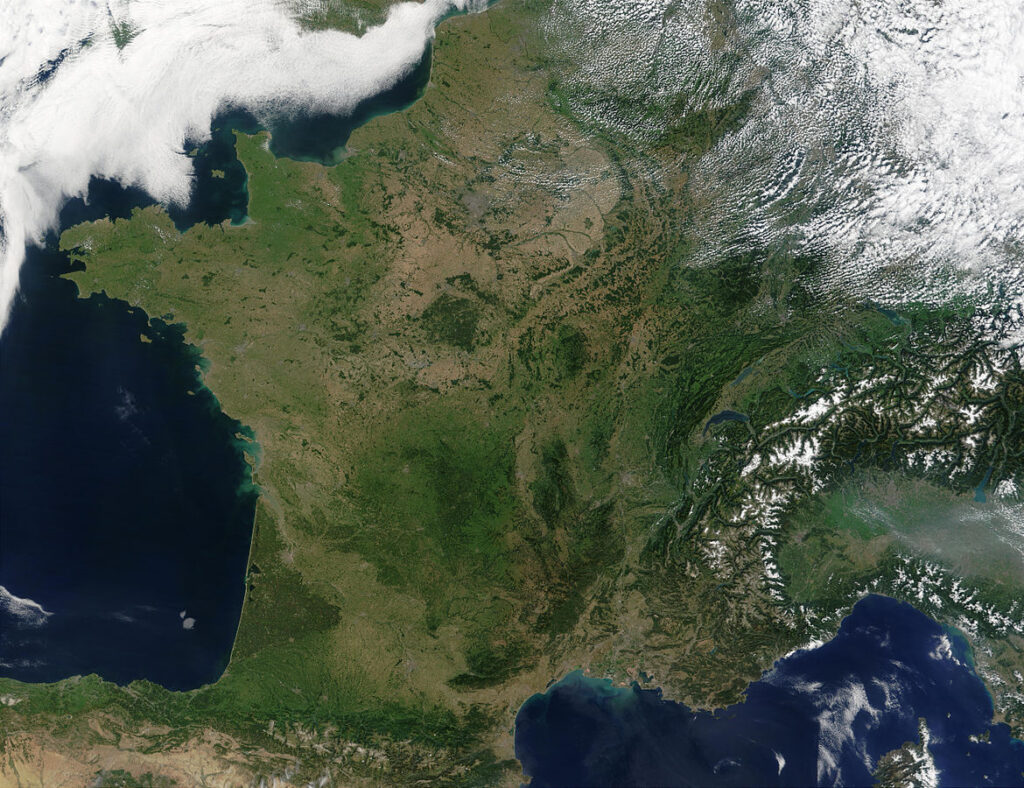
NASA / Wikimedia Commons / CC0
France! Notice how it’s shaped like an hexagon? That’s her nickname: “the Hexagon” (l’Hexagone)
Then what is this?
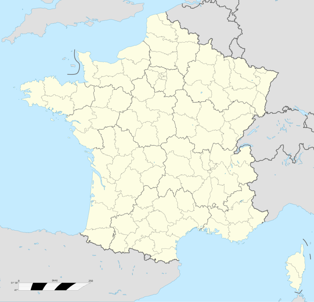
Superbenjamin / Wikimedia Commons / CC BY-SA 4.0
Also France, from an office viewpoint. The small areas are “départements” (there are ~100 of them) and the big areas are “régions”. They all have separate budgets and public offices and civil servants. They all have the same laws and rules.
What are those weird little extra areas on the map?
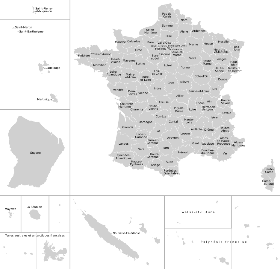
Heitordp / Wikimedia Commons / CC BY-SA 4.0
They’re the oversea lands. The most important are the French Carribeans (Antilles = Guadeloupe + Martinique), the South Pole (Antarctique) and the French Guyana (Guyane).

